Work Begins on a Major Cedar River Restoration Project

King County and partners have started a major restoration project along the Cedar River that will reduce flood risks, improve habitat for Chinook salmon, and provide sustenance to southern resident orcas.
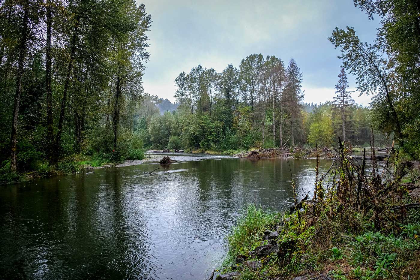
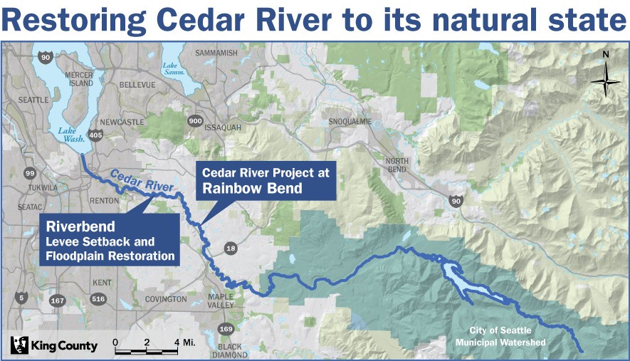
The 52-acre project will restore a mile-long portion of the river in South King County to its natural state, creating slow-water, shallow habitat that is ideal for native Chinook salmon. It will build on the progress that partners have made to protect people, homes, and infrastructure from flood risks along the river that flows from the Cascades to the southern tip of Lake Washington.
“We are steadily restoring the Cedar River toward its natural state, reducing flood risks, improving salmon habitat, and providing a more reliable food source for Puget Sound orca,” said King County Executive Dow Constantine. “Our successful restoration projects upstream provide a model for a unified effort, guided by science to achieve multiple benefits for all living things that call King County home.”
The Riverbend Restoration Project is located in unincorporated King County, between Renton and Maple Valley. It will build on the progress that the King County Flood Control District and partners made upstream with the successful Rainbow Bend Restoration Project that restored 40 acres of floodplain and reduced erosion risk to State Route 169 and King County’s Cedar River Trail.
Past levee projects – particularly those that occurred in the mid-20th century – built rock-lined structures that created narrow, fast-moving rivers that are challenging for salmon and require continuous maintenance to reduce the risk of flood and erosion.
Today, King County, the King County Flood Control District and their partners – Lake Washington/Cedar/Sammamish Watershed (WRIA 8), and City of Seattle – are designing Cedar River restoration projects that produce wider, natural river and floodplain settings that require less maintenance and are more resilient to climate impacts.
“Reimagining flood projects so we can protect people while also supporting habitat for salmon is the direction we need to head,” said King County Flood District Chair Dave Upthegrove. “We can keep our community safe from flooding, but in the process, also provide environmental benefits for generations to come.”

Offering ideal habitat for salmon and a reliable food source for orcas
Rather than separating the land and river with rock barriers, partners now design river and floodplain habitats that provide shallow water with wood, vegetation, and shade. It offers ideal habitat for salmon to rest, rear, and hide from predators, increasing their odds of surviving their long journey to the Pacific Ocean and their return upstream to spawn.Increasing the number of healthy Chinook that reach their ideal weight before they reach Puget Sound also provides more sustenance to southern resident orcas.
The Flood Control District already reduced the number of people who live in the flood-prone area when it acquired the Riverbend Mobile Home and RV Park and helped residents relocate to an equal or better residency. The Riverbend Restoration Project will further protect critical infrastructure, including State Route 169, the Cedar River Trail, and a regional fiber optic cable.
The modern, natural approach to river restoration makes the floodplain more resilient as King County experiences heavier rain events as a result of climate change.
The $15 million construction project is funded by King County’s Water and Land Resources Division, Washington State Salmon Recovery Funding Board, Floodplains By Design Partnership, and City of Seattle. This project alone will achieve 40 percent of the Lake Washington/Cedar/Sammamish (WRIA 8) Watershed’s goal of 130 acres of floodplain connected to the Cedar River by 2025.
The first phase of the project, expected to be completed by the end of the year, will demolish the roads and underground utilities of the former mobile home park and build buried flood protection facilities along the edge of the floodplain that will be set back about 400 feet from the existing flood protection facilities. The second phase, expected to be completed by the end of 2022, will restore aquatic habitat and native vegetation.
The King County team is modifying the project design after the river changed course through a levee and Cavanaugh Pond – a former gravel pit – during significant flooding in February. The goal is to more fully connect the floodplain by creating side channels and elevating the bed of the former gravel pit to provide better habitat for juvenile salmon and make it less enticing to predators, such as trout and bass, that prefer deeper waters.
Riverbend is one of the recent successes under Clean Water Healthy Habitat, an initiative Executive Constantine launched a year ago. This initiative is focused on accelerating better outcomes for people across King County who benefit from functional floodplains, resilient coastlines, access to greenspace, reduced toxics, cleaner stormwater, and better fish habitat.
Large restoration projects along the Cedar River are prime examples of how public investments can achieve goals for human safety as well as salmon recovery and climate preparedness.

 Translate


