
 Translate
Transportation planning for unincorporated King County
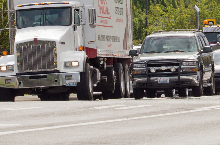
Traffic on 140th Avenue SE and SE Petrovitsky Road in unincorporated King County.
Transportation Needs Report (TNR)
About the TNR
The TNR is a long term list of transportation improvement needs in unincorporated King County. It is a component of the King County Comprehensive Plan and fulfills state requirements as specified in the Washington State Growth Management Act.
Current status
The latest version of the TNR was adopted by the King County Council on July 24, 2020 as part of the 2020 King County Comprehensive Plan update. The following is the final adopted version of the 2020 TNR.
Please note, if you are using Internet Explorer, you may need to download the PDF file below to view it properly. You can do so by right-clicking the file name below and selecting "save target as" to save the file to your computer for viewing.
Differences between the TNR and Capital Improvement Program (CIP)
The CIP differs from the TNR in that the CIP contains projects which have some degree of funding associated with them. The CIP is updated annually, while the vast majority of TNR projects are currently unfunded. The TNR operates in the long-term time frame of the Comprehensive Plan, while the CIP covers the next six years of expected funding. For the current list of funded transportation projects, please refer to the Road Services Division CIP program.
Transportation Concurrency Program
Current status
March 2023
King County reviewed the 2022 Transportation Concurrency Management Program update through the State Environmental Policy Act (SEPA) process. Community members are invited to review and comment on the SEPA Determination of Nonsignificance (DNS) and SEPA Environmental Checklist (ECL) documents below.
The comment period was March 1-15, 2023.
2020 Transportation Concurrency Update Report
The 2020 Transportation Concurrency Update Report was completed and transmitted to the King County Council on September 29, 2020. No changes occurred in travel shed pass/fail status since the previous update in 2018. As a result, the 2018 travel shed boundary map and test results map remain in effect. The 2020 Transportation Concurrency Update Report includes update methodology, findings, and both maps.
The current adopted Concurrency regulations and level of service standards can be found in Title 14, Chapter 14.70 of the King County Code.
About transportation concurrency
Concurrency is a land use regulatory framework under the Washington State Growth Management Act (GMA), passed in 1990. It is used by local governments to ensure that sufficient public facilities are in place for any new land use development. It also supports the overarching goals of the GMA: Focusing growth in urban communities, reduction of sprawl, and protection of natural and agricultural resource lands.
King County first implemented the Transportation Concurrency Management program by adopting its first Comprehensive Plan following the GMA in 1994, with the program becoming effective in 1995. Transportation concurrency policies can be found in Chapter 8 ("Transportation") of the current adopted King County Comprehensive Plan.
Key elements of the program are summarized as follows:
- Travel time data is collected by corridor segments on County principal and minor arterials
- Concurrency testing is by geographic “travel sheds” where travel patterns share common characteristics
- Concurrency testing evaluates travel time by roadway mileage within each travel shed
- The concurrency map is reviewed and updated every two years or when directed by the King County Council
- Rural Mobility Areas are designated rural areas (the towns of Vashon, Snoqualmie Pass and Fall City) that support a greater variety of transportation mode choices than typically found in most rural areas. These areas have level of service standards which support and encourage people to use alternative modes of transportation
- 85 percent of travel shed arterial mileage must meet concurrency standards for the travel shed to pass the concurrency test
- Residential and nonresidential proposals are tested by the same concurrency map
- Concurrency is based on pass or fail of travel shed status as shown on the concurrency map
- Clear identification is made of failing corridor routes that are the primary reason a travel shed is out of compliance
Frequently asked questions
- How can I check my property's concurrency status?
Check your property's transportation concurrency status using the King County Parcel Viewer. Input your property's address or 10-digit parcel identifier. After the application shows your property information, select "Districts Report" located on the lower left-hand side of the page. On the "Districts Report" refer to the row titled "Transportation Concurrency Management" for your "Pass" or "Fail" determination. Technicians at the Department of Permitting and Environmental Review (DPER) handling your application will check this on your pre-application form. - What do I do if my property fails concurrency?
Should your property be identified as failing concurrency, check with a DPER staff member to see if your property or development proposal qualifies under the category “Minor Developments and Public and Educational Facilities,” which may allow you to proceed with your application (see King County Code 14.70.285). If the proposal does not meet these criteria, you cannot proceed with your development proposal until the property is identified as passing concurrency.
Arterial Classification System
Arterial functional classification is the organization of a road system into groups according to the “function” each road serves or is intended to serve. The main functions for any road are 1) to provide mobility for users and, 2) to provide access to adjacent land uses. The degree to which the road serves movement of traffic or access to adjacent land uses is the basis for its functional classification.
Arterial functional classification is used in transportation planning, roadway design and allocation of road improvement funds. In unincorporated King County, there are three types of arterial roadways:
-
Principal arterials—Provide for movement across and between large subareas of an urban region and serves predominantly "through traffic" with minimum direct service to abutting land uses.
-
Minor arterials—Provide for movement within the larger subareas bound by principal arterials. A minor arterial may also serve "through traffic" but provides more direct access to abutting land uses than does a principal arterial.
-
Collector arterials—Provide for movement within smaller areas which are often definable neighborhoods, and which may be bound by arterials with higher classifications. Collectors serve very little "through traffic" and serve a high proportion of local traffic requiring direct access to abutting properties. Collector arterials provide the link between local neighborhood streets (i.e. non-arterials) and larger arterials.
The majority of the roads in the King County road system are not designated as arterials and function as local neighborhood streets.
The Arterial Functional Classification Map (335KB) is a component of the King County Comprehensive Plan (Technical Appendix C – Transportation), and is reviewed periodically for system changes. Changes to the arterial classification are handled through the Comprehensive Plan review and adoption process. The Comprehensive Plan is normally reviewed annually, with a major update scheduled every eight years, and a midpoint limited update every four years. Citizens can request changes to the Comprehensive Plan through the formal "Comprehensive Plan Amendment Docketing process".