Noxious weed maps for King County, Washington
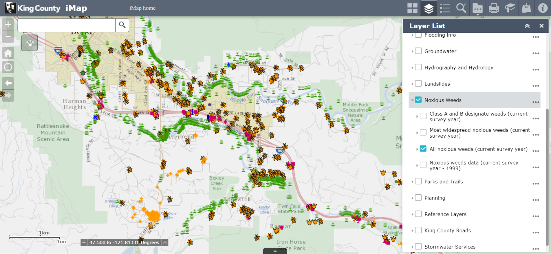
King County iMap - noxious weeds layer
Open King County iMap and add the Noxious Weeds layer. Zoom in to show the weed locations, click on legend button to see the species names, and open layer list to see data options. For help using this tool, visit the King County iMap page.

The data on noxious weeds represents locations where these species were located in current or previous years and may not represent what is present at the current time. Generally only regulated noxious weeds are mapped by the noxious weed program, but where data is available on non-regulated species that is also included. To find out which species are regulated and not regulated in King County, see the King County Noxious Weed List.
For more information about this map or the data, please contact the staff at the noxious weed program.
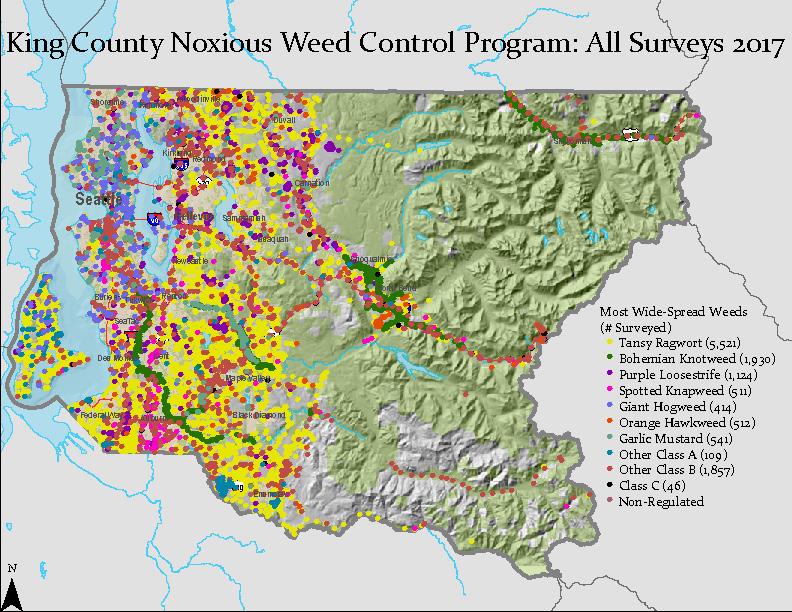
2017 King County noxious weed locations
This map depicts known locations of weed infestations for regulated noxious weed species in King County based on 2017 surveys. Click map below for larger image or download full size map (file size 3.65 Mb, Adobe Acrobat format).

Related information
- Agriculture in King County, Washington
- Northwest yard and garden
- Animals, plants and habitat
- Natural resource reference maps
- King County GIS Center
Related agencies
Program offices are located at 201 S. Jackson St., Suite 600, Seattle, WA 98104. To contact staff, see the Noxious Weed Control Program Directory, send an email, or call 206-477-WEED (206-477-9333).

 Translate