
 Translate
Roads and flooding in unincorporated King County
How we respond to severe weather and flooding
Before severe weather hits, King County staff shift into emergency response mode. Field crew work shifts are changed from their normal daytime hours to two 12-hours shifts that allow for around the clock storm and safety response in unincorporated King County.
The 24/7 Road Helpline is staffed with more customer service agents to perform call intake and rapid deployment of the storm safety related incidents being reported. Communications teams monitor and report significant incidents such as road closures via the King County My Commute map. Road Alerts and X (Twitter) are used to relay information about unincorporated roadways affected by severe weather.
This page includes detailed information about how we respond.
Status update
Fall 2023
Rainy season is here. You can help prevent local flooding by clearing leaves from storm drains on your property or next to your road. If your drain has a below-the-surface clog, you can report it to our 24/7 Road Help Line at 206-477-8100. We also offer free sandbags to help safeguard your home from flood. View this video to learn more.
Sandbag distribution available free of charge
King County and several local jurisdictions provide sandbag materials to the public free of charge. Sandbag distribution information is available through King County Water and Land Services, Flood Services and is also recorded on the King County Flood Warning Information Line: 206-296-8200 or 800-945-9263.
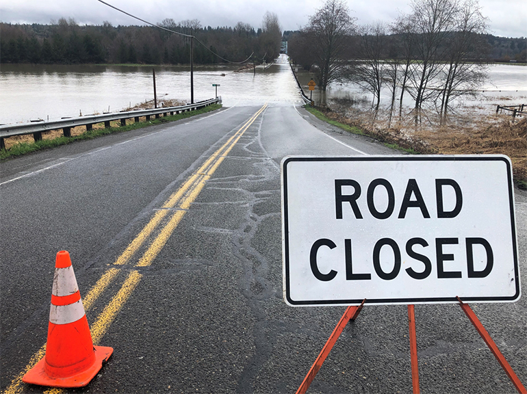
Which roads are most prone to flooding in our service area and why?
The Snoqualmie Valley is most prone to flooding when heavy rain or snow melt occurs. This flooding causes roads to be closed – in some cases for long periods of time.
Many of the major roads in the Snoqualmie Valley were constructed in the nineteenth century. Roads were typically built adjacent to rivers and followed property lines. Many of these roads will always be vulnerable to flooding because of geography and the historical drainage patterns that existed long before these roads were constructed.
Raising roadways can cause the roads to act as natural dykes or dams that cause damage further upstream – ultimately the water needs to drain into Puget Sound. The fix to some of these problems is to build trestle bridges across the valleys - projects that would cost tens of millions of dollars.
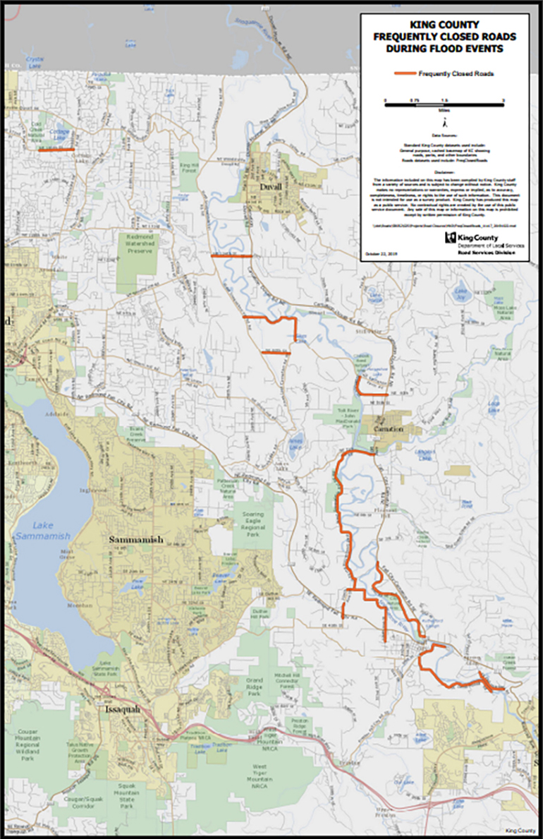
Larger view of map (7MB)
Slide risks
When sloped areas become completely saturated by heavy rainfall, the risk of slides increases. While the likelihood of slides begins to decline after a day or more of dry weather, some deep-seated slides may occur days or even weeks to months after long periods of intense rainfall. Residents near mountain slopes, canyons, and slide prone areas should stay alert even after heavy rain subsides.
The King County Office of Emergency Management provides additional slide information including hazard-specific preparedness steps and response steps.