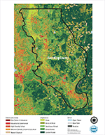
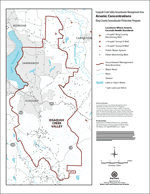
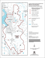
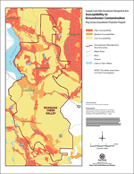
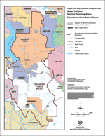
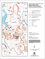
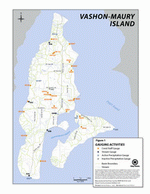
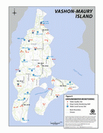
Groundwater-related maps
King County, Washington
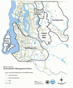
(382Kb Acrobat format)
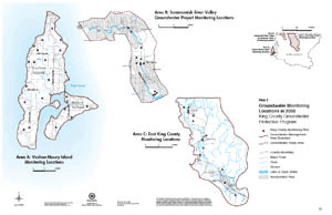
Countywide maps
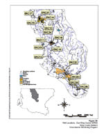
East King County (EKC)
USGS EKC Groundwater Studies USGS-WRIR 94-4082
Look up potentiometric contour maps covering Snoqualmie Valley
(all files in Acrobat pdf):
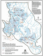
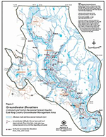
- Groundwater Elevations in Alluvium and Vashon Recessional Outwash Aquifers, East King County/ Snoqualmie Valley and Sammamish
- Groundwater Elevations in Vashon Advance Outwash Aquifers, East King County/ Snoqualmie Valley and Sammamish
- Groundwater Elevations in Upper Coarse-grained Q(A)c Aquifers, East King County/ Snoqualmie Valley and Sammamish
Issaquah Creek Valley (ICV)
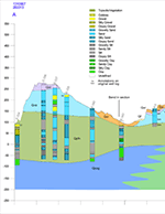
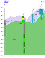
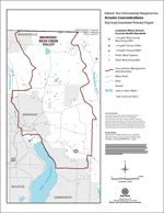
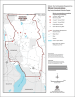
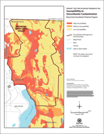
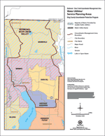
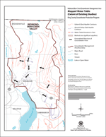
Redmond-Bear Creek (RBC)
South King County (SKC)
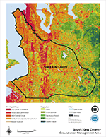
(214Kb Acrobat format)
USGS SKC Groundwater Studies USGS-WRIR 92-4098
Look up potentiometric contour maps covering South King County
(all files in Acrobat pdf):
- Potentiometric Surface in the Qva Aquifer and Water Levels in the Qal Aquifer, South King County
- Potentiometric Surface in the Q(A)c Aquifer, South King County
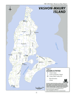
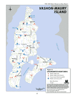
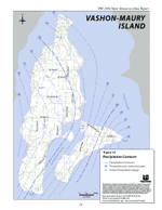
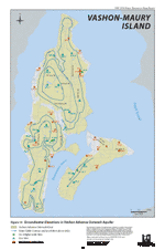
Vashon-Maury Island (VMI)
Return to King County groundwater maps and reports
This page is produced by the King County Groundwater Protection Program. To learn more about this group and its responsibilities, please read about the Groundwater Protection Program.

 Translate
