
 Translate
Boundaries
Virtual Map Counter
See also: Planning for growth-management and zoning maps.
|
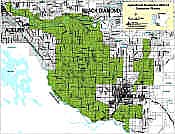
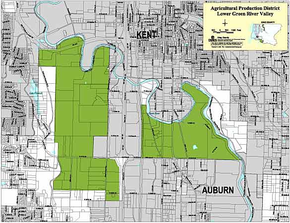
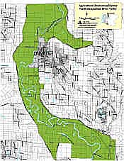
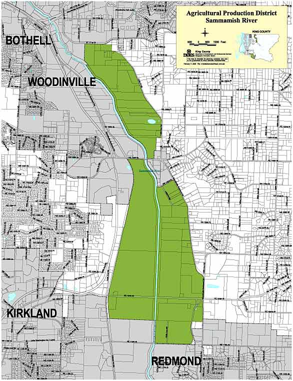
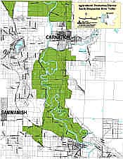
This series of maps was produced in February, 2000 by the King County Department of Development and Environmental Services. Each map shows the extent of the given APD, and includes street and municipal features. All PDFs print at 17 x 22 inches (portrait or landscape orientation). |
||||||||||||||
|
||||||||||||||
|
|
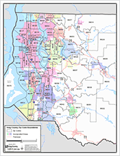
2.6Mb PDF Published: January 2013 This tabloid-size, general reference map shows all of King County's 39 incorporated cities in distinctive, contrasting colors. Interstate and state highways are also featured. The map was created by the King County GIS Center. |
|
|
 |
Screen Size: 586 x 444 pixels |
|
|
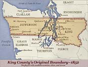
This Web-only map was created by the King County GIS Center Client Services Group for the King County Executive and the King County Sesquicentennial Web site, which included the text definition of the original boundary on the page that displayed this map |
||
|
|
This countywide map shows ZIP Code boundaries and labels overlaid on a simple base map that includes incorporated areas. 1.8Mb PDF Print Size: 17 x 11 inches King County GIS Center, January 2013. |
|
|
|
This western King County map is at a larger scale and adds major highways to the basemap. 1.3Mb PDF Print Size: 8.5 x 11 inches King County GIS Center, January 2013. |
|
 |
Print Size: 34 x 44 inches |
|
|
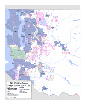
No-shooting areas are delineated portions of King County within which the discharge of firearms is prohibited or regulated by King County Code, Title 12, Chapter 12.68. Each no-shooting area on the map is labeled with its corresponding code section number and area descriptor. A no-shooting area defined by Chapter 12.68 may lie within or extend into an incorporated city, which may have its own laws regulating the discharge of firearms within its boundaries. In addition, although not depicted on the map, King County Code, Title 7, Chapter 7.12.630 regulates the shooting of guns in King County Parks, which is in general prohibited. Map created by the King County GIS Center for the Metropolitan King County Council. Revised September 25, 2006. |
||