
 Translate
Henry's Ridge
About the Park
Henry’s Ridge Open Space is a 250-acre forest about three miles southeast of Maple Valley. Prior to King County’s ownership of the Henry’s Ridge Open Space, this forest was managed as industrial timber lands. King County acquired Henry's Ridge Open Space to protect natural lands from development and restore the forest's resilience against threats of disease, pests, drought, and wildfires.
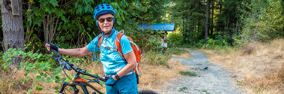
Within the forest are nearly 20 miles of multi-use trails. While all trails are for hikers and mountain bike riders, look for trail signs indicating which trails are best for a specific activity.
To become a vibrant ecosystem that offers a safe place for people to recreate, supports wildlife, provides clean air and water, former timber lands need to be actively managed. Over the next thirty years, there will be periodic forest stewardship projects at Henry's Ridge such as thinning, invasive weed removal, and plantings. King County's sustainable forest management practices at Henry's Ridge are certified by the Forest Stewardship Council® (license code FSC-C008225).
Location
Three miles southeast of Maple Valley, three miles north of Black Diamond
Nearby Bus Stops
Route 143 and Dart Route 907 at Maple Valley-Black Diamond Road Southeast and Southeast 280th Street
Parking
There are no formal, designated parking areas. Park along the residential streets but do not block driveways.
Trailhead
There are a number of informal access points from adjacent neighborhoods.