
 Translate
East Lake Sammamish Trail
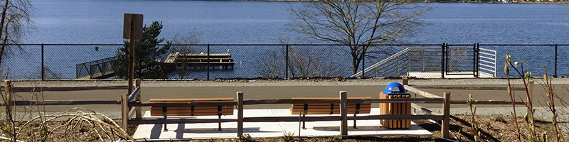
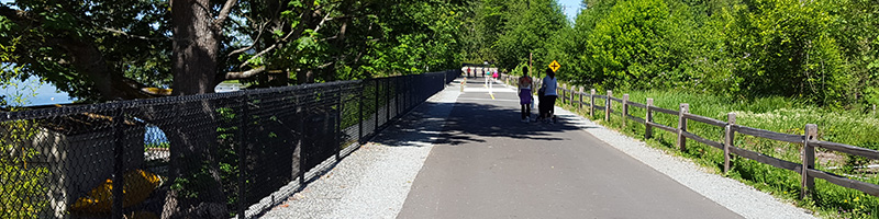
The East Lake Sammamish Trail (ELST) is part of the Locks to Lakes Corridor, a 44-mile long regional trail corridor that connects the Burke-Gilman Trail, Sammamish River Trail, Marymoor Connector Trail, and Issaquah-Preston Trail, linking Seattle to the Eastside and the Cascade Foothills. The ELST and Locks to Lake Corridor are part of the even larger Leafline Trails Network, over 500-miles of paved, non-motorized trails traversing four counties. These trails provides greater access to recreation, employment, and retail, and provides a multi-use path for bicyclists, pedestrians, joggers, walkers, and movers of all ages and abilities.
Trail History
The trail a half-century in the making
The East Lake Sammamish rail corridor (ELSRC) has existed since 1889 when the Seattle, Lake Shore & Eastern Railroad connected its rail line from Seattle through what are now Woodinville and Redmond to reach coal mines in Gilman (now Issaquah). By the early twentieth century, rail access to the east shore of Lake Sammamish led to thriving lumber mills, settlements like Monohon and Inglewood, and resorts along its banks. In time these early settlements and industries faded and were replaced with the dense residential development along the corridor today.
The rail corridor changed ownership several times before Burlington National Santa Fe (BNSF) Railway, the final rail operator on the corridor, acquired it. Eventually deciding to abandon the line, BNSF sold the corridor and all of the railroad’s property rights in the ELSRC to the Cascade Land Conservancy and King County in 1997.
King County, which first identified this rail section in 1971 as a critical future link in its Regional Trails System, petitioned the U.S. Surface Transportation Board (STB) to “railbank” the corridor. The 1983 Railbanking amendment to the 1968 National Trails System Act provides indefinite use of abandoned rail corridors for trails while preserving the right to restore the corridors for freight rail operations. The STB granted railbank status to the ELSRC in 1998, and the Cascade Land Conservancy conveyed its interest in the corridor to King County the same year.
The King County Council unanimously adopted an ordinance and appropriated funds in 2000 for development of a soft surface trail on the railbanked ELSRC. King County Parks led a region-wide community engagement effort to guide development of the ESLT Master Plan. After overcoming legal challenges, these efforts culminated in the completion of the East Lake Sammamish interim trail, opened to the public in 2006.
The first permanent trail segment, Redmond, was completed in 2011. The second, the Issaquah segment, was completed in 2013, and North Sammamish in 2015. The remaining segment, South Sammamish, was split into two and the South Sammamish A Segment was completed in January 2018. Construction on the first phase of the final 3.6-mile segment, South Sammamish Segment B, began in July 2021, and the last phase will begin in spring 2022. Phase 1 construction is expected to finish in June 2023, and Phase 2 in October 2023.